How to Visit Los Angeles Without a Car: 7 Real Ways It Works in 2026
Last September, I stood on the corner of Hollywood and Vine at 11:30 p.m., staring at my phone as three ride-share drivers canceled on me within six minutes. The surge pricing had spiked to $47 for a two-mile ride to my hotel in Koreatown. I didn't pay it. Instead, I walked half a block, tapped my TAP card against the reader at the B Line station, and rode the subway home for $1.75 in a car that was clean, air-conditioned, and half-full. That's when I stopped telling people you need a car in Los Angeles. The city I moved to a decade ago would have stranded me that night. The city that exists now, in 2026, is different — and it's finally ready for car-free visitors who know a few key moves.
Why ‘You Need a Car in LA’ Is an Outdated Myth (and What’s Changed by 2026)
The old advice was rooted in a real problem: for decades, LA's transit was a patchwork of slow buses and a skeletal rail system that avoided the places tourists actually wanted to go. The 2010s-era visitor who tried to rely on it often ended up baking at a bus stop on Sunset for 45 minutes before giving up and calling an expensive cab. But the infrastructure gap has closed substantially, and the cultural shift — accelerated by post-pandemic commuting changes and a younger generation less attached to car ownership — has made car-free travel feel less like a workaround and more like a legitimate strategy.
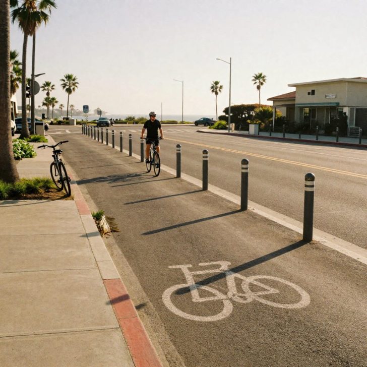
Here's what's concretely different by 2026. The Regional Connector, which opened in 2023, stitched together three previously disconnected light-rail lines into a single unified system. You can now ride from Azusa to Long Beach, or from East LA to Santa Monica, without a single transfer. The K Line extension to LAX is fully operational, meaning you can step off a plane, take a free shuttle to the Aviation/LAX station, and be on a rail line that connects to the entire network. In 2024, Metro completed its NextGen Bus Plan, redesigning routes for higher frequency on major corridors. On Wilshire Boulevard, buses now arrive every 6-8 minutes during peak hours instead of the old 15-20 minute headways. The city has added over 130 miles of protected bike lanes since 2020, including a continuous east-west route along Venice Boulevard that I've used to bike from Culver City to the beach without once fearing for my life next to an SUV.
Even ride-share has matured into something more useful. Uber and Lyft now integrate real-time transit data into their apps, so when you type in a destination, you'll often see a “Transit” option that's faster and a fraction of the price. The old binary — either you drive or you're stuck — has dissolved into a flexible mix of rail, bus, bike-share, and on-demand rides that covers the city's core tourist geography remarkably well. I'm not saying you can throw darts at a map and expect a seamless car-free experience; you still need to pick your base wisely and understand the system's shape. But the myth that LA is impossible without a car is now a lazy take, not a true one.
7 Proven Ways to Navigate LA Car-Free (Ranked by Convenience & Cost)
I've tested every method on this list across dozens of trips around the city, often stringing two or three together in a single day. The ranking reflects a balance of reliability, coverage, and affordability — not just raw speed — because the goal isn't to recreate a solo car trip but to build a dependable system that gets you where you want to go without draining your wallet or your patience.
1. Metro Rail: The Backbone for Tourist Corridors
If you design your itinerary around the rail map, you'll cover a surprising amount of ground. The B Line (Red) runs from Downtown to Hollywood and Universal City — you can walk from the station to the Walk of Fame, the Pantages Theatre, or the Universal Studios entrance shuttle in under five minutes. The E Line (Expo) connects DTLA to Culver City, Palms, and Santa Monica, ending three blocks from the pier. I've timed it: from 7th/Metro Center to Santa Monica is 48 minutes, and you're not circling for parking when you arrive. The A Line (Blue) now runs through the Regional Connector tunnels and continues to Long Beach, making it a solid option for a beach day without transferring.
Cost: $1.75 per ride with a TAP card (buy one at any station vending machine for $2, load with stored value or a $5 day pass that caps your daily spend). Trains run until roughly midnight on weekdays and 2 a.m. on Fridays and Saturdays — check the schedule before a late dinner. My rule of thumb: if your hotel and destination are both within a 10-minute walk of a rail station, this is almost always the best choice.
2. Metro Buses: The Frequency-Upgrade You Didn't Expect
LA buses used to be a last resort. The NextGen overhaul changed that on key lines. The 720 Rapid on Wilshire, the 754 Rapid on Vermont, and the 4 on Santa Monica Boulevard all run frequently enough that you don't need to memorize a schedule — just show up and wait under 10 minutes. I use the 4 bus regularly to hop between West Hollywood and Santa Monica when I don't feel like dealing with the E Line's walk on the Santa Monica end. Buses have dedicated lanes on parts of Wilshire and La Brea, which keeps them from getting bogged down in the same gridlock as cars.
Cost: same $1.75 fare, included in the $5 day pass. The Transit app (green icon, widely used in LA) gives real-time arrival data that's accurate within about a minute, so you're not standing at the stop guessing. One nuance: on weekends, headways stretch to 12-15 minutes on even the frequent lines, so build in a small buffer if you're connecting to a timed entry at a museum.
3. Ride-Share (Uber/Lyft): The Strategic Gap-Filler
I use ride-share the way a carpenter uses wood filler — not for the whole project, but for the cracks. When I'm going to Griffith Observatory, which has no direct rail link, I'll take the B Line to Vermont/Sunset and then grab a $9 Lyft for the final 12-minute climb up the hill. That's a lot smarter than paying $35 from Santa Monica. The key is to use ride-share for the last mile, not the whole journey, and to avoid it during peak surge windows — Friday and Saturday nights from 10 p.m. to 2 a.m., and weekday rush hours from 5 p.m. to 7 p.m. If you're out late, wait 20 minutes after the bars close and prices often drop by half.
Cost: typically $8-$15 for short hops within a neighborhood cluster, $20-$40 for longer cross-city trips without surge. Both apps now show a price-lock option for a small premium, which I've used to cap the cost on a ride I know I'll need at a specific time.
4. Metro Bike Share: The Sweet Spot for Beach Towns and Downtown
Santa Monica, Venice, and Downtown LA all have dense bike-share networks with docks every few blocks. The bikes are sturdy, three-speed cruisers with a basket — not performance machines, but perfect for a 20-minute coastal roll. I rented one at the Santa Monica Pier and rode south to the Venice Canals in 15 minutes, locked it at a dock, walked around for an hour, then grabbed another bike to continue to Marina del Rey. The entire afternoon cost $7.
Cost: $1.75 per 30 minutes, or a $5 day pass that includes unlimited 30-minute rides. You can dock and re-check out a bike to reset the clock. Use the Metro Bike Share app to see real-time dock availability; on summer weekends, docks near the Santa Monica Pier can run empty by 1 p.m., so plan to grab a bike earlier or walk a few blocks inland to a less crowded station.
5. Walking: The Underrated Connector
LA's reputation for unwalkability is only half-true. The city is enormous, yes, but individual neighborhoods are often dense, flat, and full of street-level storefronts. I've spent entire days on foot in Downtown LA, walking from the Arts District to Little Tokyo to Grand Central Market — it's about 1.5 miles total, with coffee shops and murals between each stop. Koreatown is similarly compact: you can walk from a Korean BBQ dinner on 6th Street to a late-night dessert spot on Western in under 15 minutes. The trick is to cluster your activities within one walkable zone per day rather than trying to walk between zones. In Santa Monica, Montana Avenue to Main Street is a 25-minute walk through residential streets lined with jacarandas; it's honestly more pleasant than driving it.
My own habit: I check Google Maps' walking time between my first and last planned stop of the day. If it's under 45 minutes total, I skip transit altogether and walk the whole route, popping into places as I go. You see a version of LA that car windows filter out.
6. FlyAway Bus + LAX Shuttles: The Airport Solution
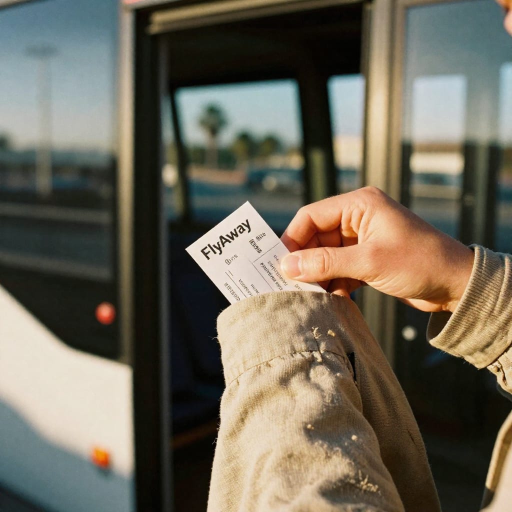
LAX is no longer a car-free dead zone. The FlyAway bus runs nonstop from the airport to Union Station (downtown) and Hollywood (Vine Street) for $9.75, with buses departing every 30 minutes during the day. I've taken the Union Station route at 11 p.m. on a Tuesday and was downtown in 35 minutes. If you're staying near a Metro station, the free LAX shuttle to the Aviation/LAX station connects you to the C Line, which links to the broader rail network. The long-awaited Automated People Mover is rolling into phased operation through 2025-2026, eventually connecting all terminals directly to the rail station, but the current shuttle setup works fine — just budget an extra 20 minutes for the transfer.
One thing I learned the hard way: the FlyAway bus doesn't take cash anymore. You need a card or a mobile payment app. I stood there like a fool with a $10 bill in 2023 until a kind stranger spotted me. Don't be me.
7. Micro-Mobility (Lime, Bird, Wheels): The Niche Option
Electric scooters and e-bikes from Lime and Bird are scattered across Santa Monica, Venice, Culver City, and parts of Hollywood. I use them for one specific scenario: when I'm in a walkable zone but need to cover a slightly longer distance that's too far to walk and too short to justify a ride-share. For example, from the Culver City E Line station to the Platform shopping district is a 25-minute walk or a 4-minute scooter ride. At roughly $1 to unlock plus 39 cents per minute, that trip costs about $3. The downside is availability — scooters cluster in high-traffic areas and vanish from residential streets, so don't count on finding one outside a busy commercial strip. And always check the brakes before you take off; I've grabbed a Lime with a sticky rear fender that made stopping an adventure.
Step-by-Step: Planning Your Car-Free Los Angeles Itinerary (with Real Routes)
The biggest mistake I see visitors make is booking a hotel in a transit desert — like a cheap motel in Van Nuys — and then struggling to reach anything without expensive ride-shares. The single most important decision you'll make is where you sleep. Pick a base in Downtown LA, Hollywood, Santa Monica, or Koreatown, and you'll have rail access, walkable streets, and multiple bus lines within a five-minute walk.
Here's a real 3-day itinerary I've tested with visiting friends. Day 1: Downtown LA. Start at Grand Central Market for breakfast (B Line to Pershing Square). Walk to The Broad museum (free, book ahead), then through the Walt Disney Concert Hall gardens. Afternoon: take the A Line to Chinatown for lunch, then walk back through Olvera Street. Evening: ride-share ($10) to the Arts District for dinner at a brewery. Day 2: Hollywood and Griffith. Take the B Line to Hollywood/Highland, walk the Walk of Fame and see the Chinese Theatre. Afternoon: B Line to Vermont/Sunset, then a $9 Lyft to Griffith Observatory for sunset. Pack a jacket — it gets windy up there. Day 3: Beach Day. E Line from DTLA to Santa Monica. Rent a Metro Bike at the pier, ride to Venice Boardwalk, lock up, and explore the canals on foot. Return bike, take the bus 4 back along San Vicente to see a different slice of the city. Total transit cost for all three days: about $25 per person, including the bike rental and one ride-share.
If you have five days, add a Universal Studios day (B Line to Universal City, free shuttle to gate) and a Westside day that strings together the Getty Center (Metro Bus 734 from Westwood) and the Hammer Museum in Westwood, both free. The Getty requires a timed reservation but the entry itself is free; the bus drops you at the gate.
What to Watch Out For: Common Pitfalls (and How to Avoid Them)
I don't want to paint a postcard that ignores the friction. Car-free LA has real edges, and you'll enjoy the trip more if you know them in advance rather than discovering them at midnight on a dark platform.
Late-night service gaps. Metro rail stops running around midnight on weeknights. If you're at a concert at the Hollywood Bowl and it lets out at 11:15, you'll make the last train — but don't linger. I check the last departure time before I go out and set a phone alarm 20 minutes before it. If you miss it, ride-share is your fallback, but expect surge pricing. The bus network has a few 24-hour lines (the 4 on Santa Monica, the 720 on Wilshire, the 754 on Vermont), so knowing those can save you if you're near one.
Safety perception vs. reality. Some visitors hear warnings about the B Line at night and get spooked. I've ridden it hundreds of times, including late evenings, and the actual risk of a violent incident is low — but it's also true that certain stations (Pershing Square, Westlake/MacArthur Park) can feel sketchy after 10 p.m., with unhoused individuals sheltering in mezzanines. My honest take: the trains themselves are generally fine because they're staffed and have emergency intercoms. If you feel uncomfortable, ride in the front car near the operator. On buses, sit near the driver. These are the same precautions I'd give a friend visiting any major US city, and they're not a reason to avoid the system — just to be aware.
The Valley problem. The San Fernando Valley — Studio City, Sherman Oaks, Burbank — has weaker transit coverage. If your itinerary includes Warner Bros. Studio Tour or a hike in Fryman Canyon, you can still do it car-free, but it'll require a bus leg that eats more time. I budget an extra 30 minutes of transit time per leg when I'm heading into the Valley and often use ride-share for the return trip rather than waiting for a bus on a less frequent evening schedule.
Heat and hydration. LA's bus stops are notoriously under-shaded. On a 90-degree day, standing on an exposed sidewalk for 10 minutes can feel punishing. I carry a refillable water bottle and a hat from June through October, and I'll pick a route with an air-conditioned rail option over a bus if the wait is comparable.
One thing I wish someone had told me five years ago: the TAP card you buy at the airport works on every bus and train in the county, including Santa Monica's Big Blue Bus and Culver CityBus. You don't need separate tickets for different agencies. Load a day pass in the morning and stop thinking about fares for the rest of the day. It's a small mental lift that makes the whole system feel like a unified network instead of a pile of disconnected pieces.
Car-free LA in 2026 isn't a compromise — it's a different kind of trip, one where you notice the street-level texture of the city in a way that drivers, sealed in their metal boxes, never do. You'll walk through neighborhoods you'd have sped past, talk to strangers at bus stops, and finish the day without a $50 parking receipt crumpled in your pocket. The infrastructure has caught up enough to make it work. The rest is just planning, and now you have the blueprint.